Offline Maps for Fieldwork on iPhone & iPad
Fieldwork happens in places where cell towers don't reach. Remote forest plots, offshore survey sites, mountain valleys, underground utilities — the list is long. If your mapping tool requires an internet connection, it fails exactly when you need it most. GoGIS is designed from the ground up to work offline. Your layers, your data, and your GPS all function without any network connection.
Why Offline Matters for Field Mapping
GoGIS stores imported layers and collected records on your device. You can view local vector data and record observations without signing in to a cloud service. Basemaps and other online services need separate preparation or an internet connection.
Imported vector data stays on your device. Prepare any supported basemap downloads while you have a connection, then check the area before leaving coverage.
Basemap Downloads and Coverage
Built-in basemap downloads are available for supported USGS sources in the United States and GSI sources in Japan. Choose a supported source in Offline Maps, select the area and download it while connected. Elsewhere, imported vector data remains available offline, but GoGIS does not currently provide built-in basemap downloads.
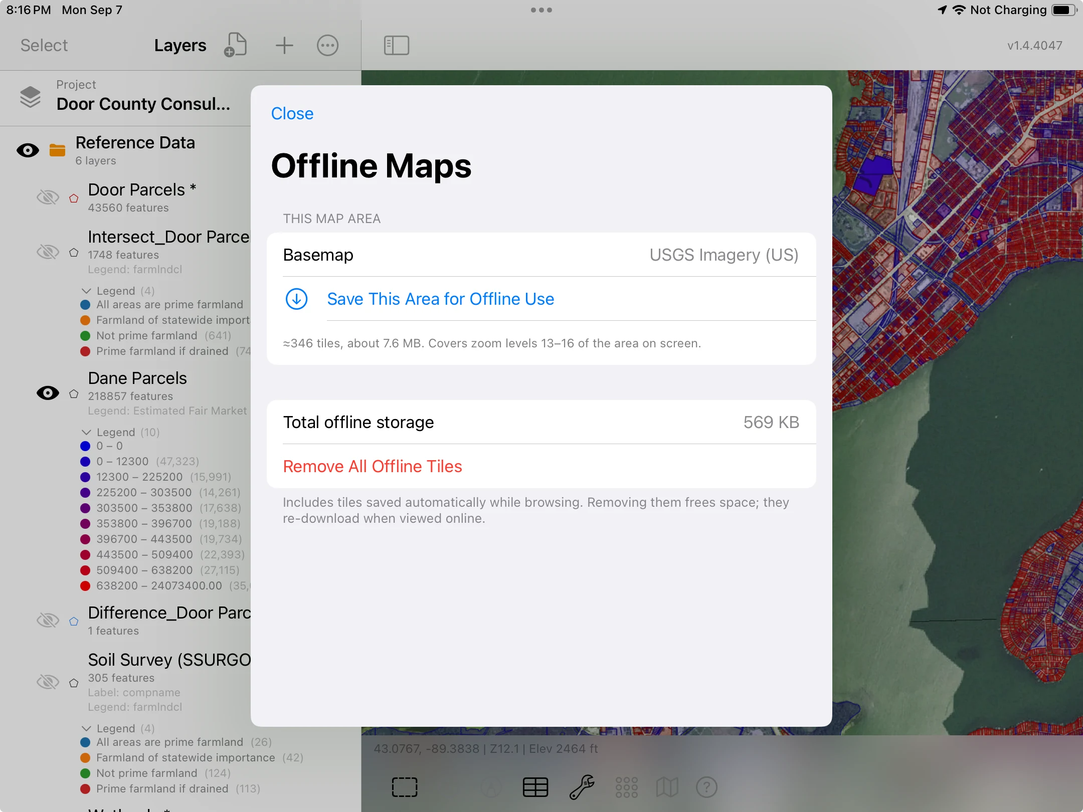
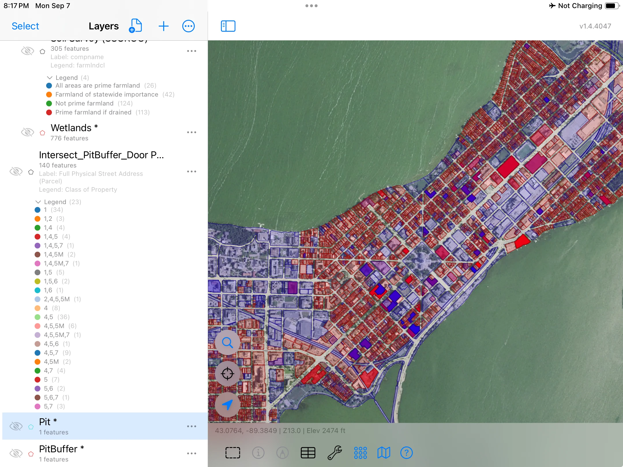
Do not rely on recently viewed Apple Maps imagery being available offline. Use the supported download workflow when your project needs an offline basemap.
GPS Works Without Internet
Satellite positioning can work without cellular service on devices with a GNSS receiver. Wi-Fi-only iPads do not have built-in GPS/GNSS. Check your device and the reported accuracy before collecting, and test the project without a connection before leaving for the field.
GoGIS shows your real-time accuracy estimate on screen. In open sky conditions, expect 3-5 meter accuracy — comparable to most dedicated handheld GPS units. This is more than sufficient for field mapping, asset inventory, environmental monitoring, and similar tasks.
Collecting Data Offline
With your layers prepared, use the GPS collection control to record a point, fill in the form, and save it locally. A cellular connection is not required to save the observation. Review the location accuracy before recording the point.
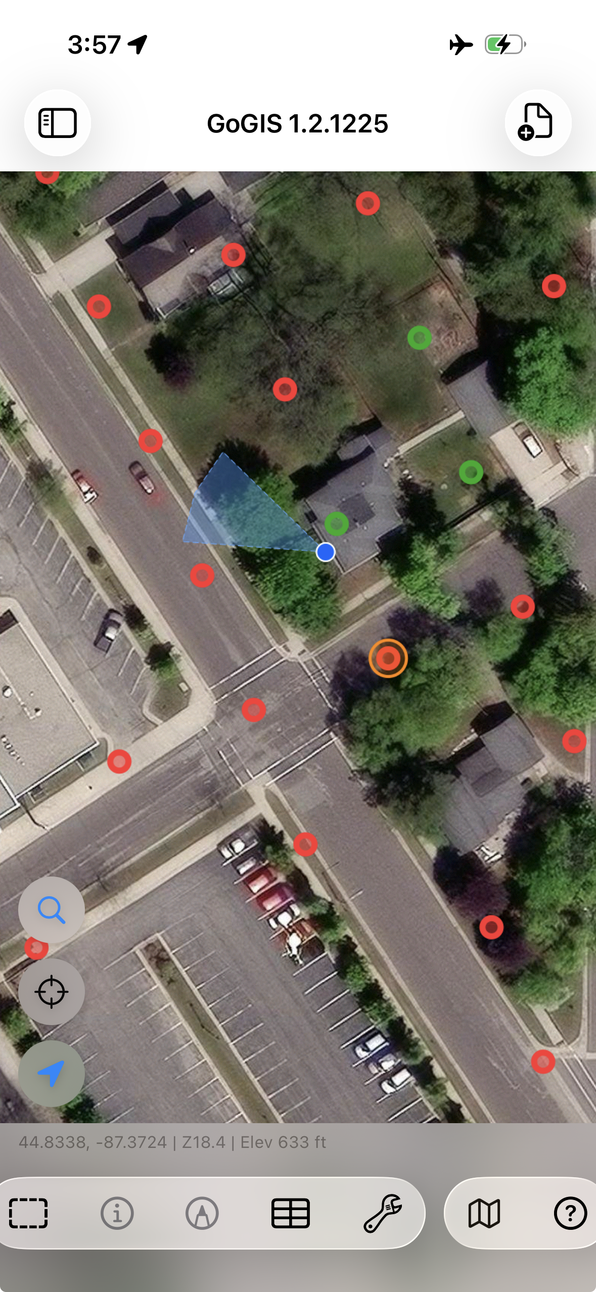
You can collect hundreds or thousands of points in a single offline session. The SQLite database handles large datasets efficiently, and performance does not degrade as the feature count grows.
What Happens When You Reconnect
Your locally saved records remain available when connectivity returns. Export the layers in the format your team needs, or use Field Sync to exchange changes with nearby devices. Sharing by email or an online service requires a connection.
Tips for Preparation
- Cache your basemap — browse the project area on Wi-Fi at the zoom levels you need
- Load all layers beforehand — import shapefiles, GeoPackages, or KML files before leaving the office
- Charge your device — GPS and screen usage drain the battery; bring a power bank for long field days
- Test in airplane mode — verify everything works before you drive two hours to a remote site